Introduction to GIS and ArcGIS

Introduction to GIS and ArcGIS introduces geographic data analysis, spatial mapping techniques, and digital cartography. Learn how GIS tools and ArcGIS software support data visualisation, location intelligence, and informed decision-making.

Introduction to GIS and ArcGIS

Get access to 5000+ courses including this for only £49. Learn More.

Overview of Introduction to GIS and ArcGIS

Introduction to GIS and ArcGIS is a comprehensive course designed to build strong GIS basics and an ArcGIS introduction for beginners. Learners explore geospatial technology, geographic data, and spatial data concepts, gaining foundational knowledge of how modern mapping systems work. The course strengthens understanding of digital environments used in real-world spatial applications.

Presents practical training in mapping skills, spatial analysis, and cartography tools using ArcGIS. Students learn remote sensing concepts, data models, managing data workflows, and working with vector data layers in ArcMap software. Emphasis is placed on map visualization techniques that transform geographic data into meaningful spatial insights for decision-making and applications.

Covers the complete curriculum of Introduction to GIS and ArcGIS, guiding learners through GIS basics, ArcGIS introduction, and advanced map creation techniques. Students develop strong mapping skills through symbolizing data, creating map layouts, and analyzing spatial data. The course enhances geospatial technology understanding, preparing learners for professional spatial analysis roles.

The course was audited and updated on: 25th May, 2026

Learning Outcomes of Introduction to GIS and ArcGIS

Certification

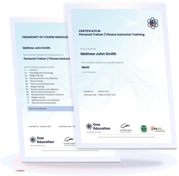
one education Certificate

After completing the Introduction to GIS and ArcGIS course assessment, you will be eligible to receive a CPD-accredited certificate worth £9 from One Education to demonstrate your achievement.

The certificate is also available as a printed hard copy delivered by post for £15.

Why Study This Introduction to GIS and ArcGIS Course?

Introduction to GIS and ArcGIS helps learners understand the fundamentals of Geographic Information Systems and how spatial data is collected, managed, and analysed. It introduces core concepts of mapping, data layers, and geospatial analysis using ArcGIS tools.

This course also supports career development in geography, urban planning, and environmental science by strengthening technical and analytical skills. It is valuable for individuals aiming to work with spatial data to solve real-world problems and support informed decision-making.

Course Duration

The Introduction to GIS and ArcGIS course has a total study time of 1 hour, 54 minutes. Learners can work through the material at a flexible pace, enabling them to complete the programme conveniently while developing practical skills in Geographic Information Systems (GIS), spatial analysis, and ArcGIS software fundamentals.

Requirements

The Introduction to GIS and ArcGIS course requirements are simple and suitable for beginners. A basic understanding of English, interest in geographic information systems, mapping, and spatial analysis, and access to an internet-enabled device are recommended. The online course is flexible, allowing learners to study at their own pace and develop foundational GIS skills.

Career Path

Frequently Asked Questions

This course introduces Geographic Information Systems (GIS) and ArcGIS software, which are used to collect, analyze, and visualize spatial and geographic data for real-world applications.

It is ideal for students, geography enthusiasts, environmental scientists, urban planners, engineers, researchers, and anyone interested in mapping and spatial data analysis.

You will learn GIS fundamentals, map reading, spatial data types, layering systems, basic ArcGIS tools, data visualization, and introductory spatial analysis techniques.

GIS is used in urban planning, environmental monitoring, disaster management, transportation planning, agriculture, and business location analysis.

No, this course is designed for beginners and provides step-by-step guidance to help you understand both GIS concepts and ArcGIS software tools.

It can lead to careers in GIS analysis, cartography, environmental consulting, urban planning, remote sensing, and data analysis roles in various industries.

Course Curriculum

Introduction to GIS and ArcGIS
What is GIS? 00:09:00
Data Models 00:13:00
Managing Data 00:12:00
Navigating the ArcMap Software 00:13:00
Working with Vector Data Layers 00:10:00
Analysis Tools 00:11:00
Symbolizing Data I 00:11:00
Symbolizing Data II 00:10:00
Creating Map Layouts I 00:10:00
Creating Map Layouts II 00:15:00
Order Your Certificate
Order Your Certificate Now 00:00:00
top
Home Courses Search