

-
 Cart
2
Cart
2


Registering for this site is easy. Just fill in the fields below, and we'll get a new account set up for you in no time.

Sign in to your One Education account
Introduction to QGIS for Remote Sensing
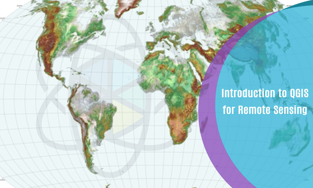
Introduction to QGIS for Remote Sensing
PRIVATE
PRIVATE COURSE OR


 1 Year Access
  Intermediate
 21 Students
 -
 1 hour, 47 minutes
Course Curriculum
| Section 01: QGIS Basics | |||
| What is GIS? | 00:03:00 | ||
| Where do I get a GIS software from? | 00:05:00 | ||
| Where do I get GIS data from? | 00:07:00 | ||
| Create new GIS data | 00:07:00 | ||
| GIS Data manipulation | 00:02:00 | ||
| More GIS data creation | 00:04:00 | ||
| GIS data representation | 00:13:00 | ||
| QGIS Map composer | 00:09:00 | ||
| Section 02: Remote Sensing in QGIS | |||
| Download Landsat 8 data | 00:06:00 | ||
| How to build the virtual raster for a Landsat 8 image in QGIS | 00:09:00 | ||
| How to clip Landsat 8 image – Remote sensing | 00:04:00 | ||
| Manual classification of Landsat 8 data in QGIS – creating shapefiles | 00:08:00 | ||
| How to do manual classification of Landsat 8 data in QGIS – digitization | 00:08:00 | ||
| How to do automated supervised classification of Landsat 8 data in QGIS | 00:06:00 | ||
| How to do automated unsupervised classification of Landsat 8 data in QGIS | 00:08:00 | ||
| How to create the map of the classification results of Landsat 8 data in QGIS | 00:08:00 | ||
| Assignment | |||
| Assignment -Introduction to QGIS for Remote Sensing | 00:00:00 | ||
Related Courses

Intermediate

Intermediate

COPYRIGHT © 2022 One Education
2
- Item added to cart
- Item added to cart
2
Your Cart

Team Training Plan
-
+
£29
Get A PDF Certificate & Transcript After You Complete Your Course
-
+
£9.99
Upgrade to get UNLIMITED ACCESS to ALL COURSES for only £49/year
Claim Offer & UpgradeMembership renews after 12 months. You can cancel anytime from your account.
Other Students Also Buy
-
 Get Lifetime Access To Your Course£9.99 Add to basket+Add