

-
 Cart
Cart


Registering for this site is easy. Just fill in the fields below, and we'll get a new account set up for you in no time.

Sign in to your One Education account
QGIS Cartography
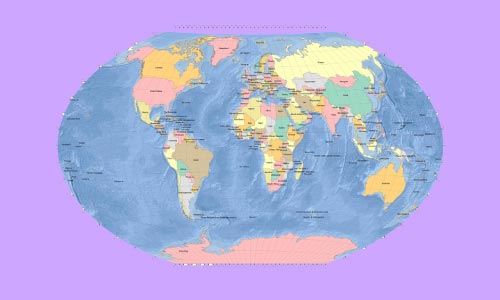
QGIS Cartography
£29 ex Vat
Take This Course OR


 1 Year Access
  Intermediate
 22 Students
 -
 4 hours, 1 minute
Course Curriculum
| Section 01: Introduction | |||
| Introduction | 00:01:00 | ||
| Section 02: Labels | |||
| Labeling Basics | 00:03:00 | ||
| Labeling – Text Properties | 00:02:00 | ||
| Label Formatting | 00:06:00 | ||
| Label Buffers | 00:04:00 | ||
| Labels – Backgrounds | 00:03:00 | ||
| Label Shadows | 00:03:00 | ||
| Labeling Callouts (Leader Lines) | 00:03:00 | ||
| Labels – Placement | 00:04:00 | ||
| Labels – Rendering | 00:05:00 | ||
| Labeling Over Orthos | 00:06:00 | ||
| Fine Tuning Labels | 00:03:00 | ||
| Section 03: Symbology | |||
| Styling Single Points Lines and Polygons | 00:11:00 | ||
| Styling Categorical Data | 00:08:00 | ||
| Styling Graduated Data | 00:04:00 | ||
| Shapeburst Fills | 00:03:00 | ||
| Texture Fills | 00:04:00 | ||
| Inverted Polygons | 00:03:00 | ||
| Advanced Lines | 00:08:00 | ||
| Section 04: Base Layers | |||
| XYZ Tile Basemaps | 00:04:00 | ||
| Getting Data from the OSM Website | 00:07:00 | ||
| Getting Basemaps from the QuickMapServices Plugins | 00:05:00 | ||
| Getting OSM Data with Overpass Turbo | 00:06:00 | ||
| Rule Based Symbology | 00:10:00 | ||
| Rule Based Labeling | 00:03:00 | ||
| Bringing in Mapbox Baselayers (an Introduction) | 00:13:00 | ||
| Natural Earth Data | 00:07:00 | ||
| Section 05: Project Setup | |||
| Setting Up a Page Layout | 00:14:00 | ||
| Layout Templates | 00:05:00 | ||
| Creating Map Grids (Lat & Long Graticules) | 00:08:00 | ||
| Inset or Overview Maps | 00:05:00 | ||
| Global Overview Maps | 00:05:00 | ||
| Adding a Legend | 00:07:00 | ||
| Adding Text to a Layout | 00:03:00 | ||
| Adding Images | 00:05:00 | ||
| Section 06: Water Styling | |||
| Coastal Glow Effect | 00:03:00 | ||
| Concentric Water Lines (Equally Spaced) | 00:05:00 | ||
| Concentric Water Lines (Variably Spaced) | 00:08:00 | ||
| Half Tone Coastal Fill Pattern | 00:06:00 | ||
| Section 07: Land Styling | |||
| Getting DEMs from USDA/NRCS | 00:08:00 | ||
| Creating Contour Lines from DEMs (in Feet and Meters) | 00:11:00 | ||
| Labeling Contour Lines | 00:06:00 | ||
| Drop Shadowing Polygon Features | 00:03:00 | ||
| Section 08: Resources | |||
| Resources | 00:00:00 | ||
| Assignment | |||
| Assignment -QGIS Cartography | 00:00:00 | ||

Related Courses

Intermediate

Intermediate

Intermediate
COPYRIGHT © 2022 One Education
0
0
Your Cart
Your cart is emptyBrowse Courses
Upgrade to get UNLIMITED ACCESS to ALL COURSES for only £49/year
Claim Offer & UpgradeMembership renews after 12 months. You can cancel anytime from your account.
Other Students Also Buy
-
 Get Lifetime Access To Your Course£9.99 Add to basket+Add