Surveying Basics

  • Bestseller
  • Great Service
  • Highly Rated
  • Trending

Surveying Basics introduces fundamental measurement principles, essential equipment, mapping techniques, and data interpretation skills required for accurate land assessment, construction planning, boundary identification, and informed decision-making within civil engineering projects.


Surveying Basics

Get access to 5000+ courses including this for only £49. Learn More.

Overview of Surveying Basics

Surveying Basics is a comprehensive course designed to introduce learners to modern Surveying, including essential concepts of Land Survey, Mapping, Measurements, and Topography. It covers practical applications such as GPS Survey, Site Survey, and Fieldwork within Geomatics. This Survey Basics program builds strong foundations for accurate spatial data collection and interpretation.

The curriculum includes modules covering Tools and Techniques of Surveying, Surveying Instrumentation, Area Measurement, and Measurement of Volumes. It also explores Levelling, Contouring, Distance Measurement, and Angles and Directions. Learners gain understanding of Error and Uncertainty in Surveying, strengthening practical skills for accurate Mapping and professional Surveying applications in Geomatics fieldwork.

Surveying Basics highlights real-world applications including Fieldwork, GPS Survey, Site Survey, and Mapping techniques. Students learn to prepare accurate Survey Report using Measurements and Geomatics principles. The course ensures strong understanding of Surveying processes, improving precision in Topography and professional Land Survey practices across engineering and construction projects.

The course was audited and updated on: 20th April, 2026

Learning Outcomes of Surveying Basics

Method Of Assessment​

Learners complete an assignment designed to evaluate their understanding of the course content. The assignment is reviewed by qualified tutors who provide personalised feedback, allowing learners to demonstrate their applied knowledge and skills.

Certification

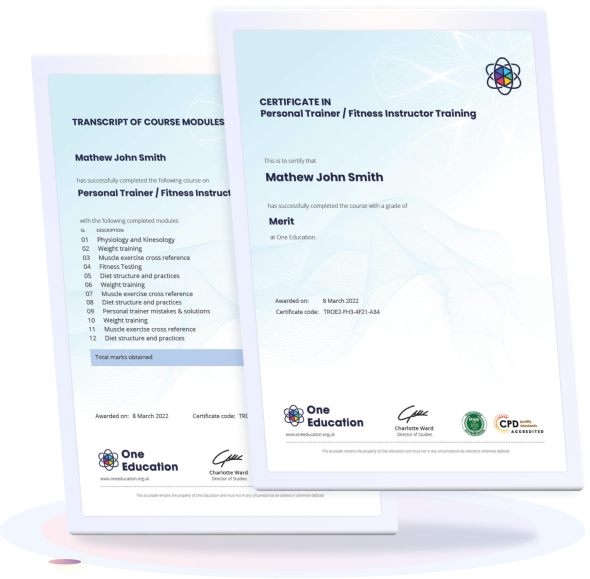
one education Certificate

After completing the Surveying Basics course assessment, you will be eligible to receive a CPD-accredited certificate worth £9 from One Education to demonstrate your achievement.

The certificate is also available as a printed hard copy delivered by post for £15.

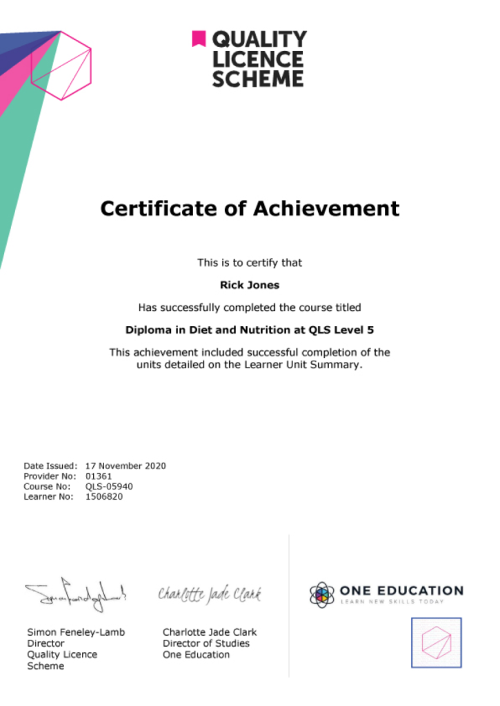
EXAMPLE - QLS Certificate 2020 1

Quality Licence Scheme Endorsed Certificate

Learners also have the option to order a Quality Licence Scheme (QLS) Endorsed Certificate as additional proof of achievement. The QLS Endorsed Certificate can be delivered by post for £109, with an additional £10 postage charge for international students.

Endorsement

This course has been endorsed by the Quality Licence Scheme for its high-quality, non-regulated provision and training programmes. This course is not regulated by Ofqual and is not an accredited qualification. Your training provider will be able to advise you on any further recognition, for example progression routes into further and/or higher education. For further information please visit the Learner FAQs on the Quality Licence Scheme website.

Why Study This Surveying Basics Course?

Studying Surveying Basics develops foundational skills in land measurement, mapping techniques, and site analysis. It focuses on understanding surveying instruments, interpreting data, and producing accurate site plans used in construction, engineering, and land development projects.

This course enhances career opportunities in construction, civil engineering, and property sectors by strengthening technical and analytical abilities. It equips individuals to support site assessments, contribute to project planning, and work effectively within surveying and development teams.

Course Duration

The Surveying Basics course has a total study time of 2 weeks and 1 day. Learners can progress through the programme at a flexible pace, allowing them to complete the training in line with their personal schedule, availability, and preferred learning approach.

Requirements

Requirements for the Surveying Basics course are simple and suitable for beginners interested in construction and land measurement. A basic understanding of mathematics, spatial awareness, and attention to detail is helpful. No prior surveying experience is required, and the course is fully online with flexible, self-paced study options.

Career Path

Frequently Asked Questions

Surveying involves measuring and mapping land, buildings, and construction sites.

It is ideal for beginners and individuals interested in construction or engineering.

You will learn measurement techniques, surveying tools, and mapping basics.

No experience is required, though interest in construction is helpful.

It supports opportunities in surveying, construction, and site management roles.

Yes, you will receive a CPD-accredited certificate to enhance your CV.

Course Curriculum

Module 01: Basics of Surveying
Basics of Surveying 00:40:00
Module 02: Tools and Techniques of Surveying
Tools and Techniques of Surveying 00:41:00
Module 03: Surveying Instrumentation
Surveying Instrumentation 00:28:00
Module 04: Area Measurement
Area Measurement 00:43:00
Module 05: Measurement Volumes
Measurement of Volumes 00:35:00
Module 06: Levelling
Levelling 00:41:00
Module 07: Contouring
Contouring 00:32:00
Module 08: Distance Measurement
Distance Measurement 00:40:00
Module 09: Angles and Directions
Angles and Directions 00:30:00
Module 10: Error and Uncertainty
Error and Uncertainty 00:37:00
Module 11: Survey Report
Survey Report 00:27:00
Assignment
Assignment – Surveying Basics 2 weeks, 1 day
Order Your Certificate
Order Your Certificate QLS 00:00:00
top